Pacific Steam Whaling Co. Community House
The Pacific Steam Whaling Co. constructed this building in 1893, making it the oldest frame building in the Yukon. It was initially used as a community building for the officers of the whaling ships that wintered at the island. Following this period it was used successively by the Anglican Mission for housing and church services, the Mounted Police as a barracks and detachment HQ, and finally, it accommodated researchers working under the auspices of the Polar Continental Shelf Project. It has been restored to the last period of continual occupation and is currently used to accommodate the Park Office and as a meeting place for visitors to the Park, and includes a small display area.
Region:
YukonField Documentation:
August 16, 2018Field Documentation Type:
Terrestrial LiDAR
Historic Period:
1893CE
Latitude:
69.569212Longitude:
-138.915541
Threat Level
History
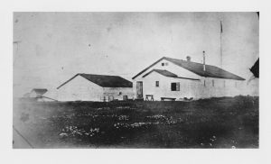
During the late 19th century the whaling industry expanded to the Beaufort Sea. This industry was driven by a demand for oil and baleen, a highly popular construction material valued for its combined strength and flexibility [1]. As whale stocks began to be depleted, whaling ships started to sail into the Beaufort Sea to hunt whales, particularly bowheads. In 1890 the Mary D. Hume ship of the Pacific Steam Whaling Company (PSWC) was the first to reach the island. The Pacific Steam Whaling Co. built their first buildings, the company warehouse and the Pioneer House, on Avadlek Spit in August 1890 [1]. However, after getting unexpectedly frozen in Pauline Cove on September 18th, the company was forced to relocate their supplies and reconstruct their warehouse [1]. These buildings, which had been the first framed buildings constructed on the island, no longer stand [1,2]. In 1893 by the Pacific Steam Whaling Co built the community house (see also the PSWC bonehouse) which is now the oldest standing frame building in the Yukon. The whaling company used the building simultaneously as a recreation hall, office, and warehouse intermittently until 1897 [1,2]. At this point it was given to Reverend Isaac O. Stringer to be used as a residence, chapel, and school until 1901 when his successor Reverent C.E. Whittaker took it over until 1906. The North West Mounted police then informally used the building until they purchased it and all of the Pacific Steam Whaling Co.’s Herschel Island assets in 1911 for a total of $1500 [1,2]. At this time, Herschel Island served as the district sub-headquarters for the North West Mounted Police. In 1930, command transferred to Aklavik and Herschel Island became a minor post. Throughout their ownership of the community house the North West Mounted Police used it as detachment headquarters, barracks, office, and jail. In 1964 the police post closed, and subsequently the building was used for accommodation for various research projects such as the Polar Continental Shelf Project [2,3].
Construction
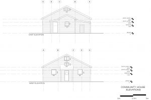
The community house is frame structure that was pre-cut and labelled in San Francisco, shipped up to Herschel Island as kit pieces with the Pacific Steam Whaling Co’s whaling fleet [1,2]. It is approximately 9.4m by 17.7m and has a gable roof that is sheathed with a double layer of boards laid in alternating directions. The roof is supported by King Post trusses, and the foundation of the building is a system of inverted wooden T-beams laid directly into the gravel of the cove [1]. There are entrances into the building in both the north and south walls, and windows in each of the walls [1]. Since its construction it has undergone a number of alterations, including the addition of porches, partitioning of interior spaces, refinishing of exterior and interior walls, re-shingling the roofing, and addition of basic electrical systems [1].
Current Condition
Currently, the community house is used to accommodate the Park Office and is used as a meeting place for visitors to the island. It includes a small display area, and a kitchen to be used for crews working on the island.
Lifting the Building
Stephan Biedermann is a Historic Sites Conservation Carpenter with Department of Tourism and Culture, Yukon Government. This past summer, Stephan and his colleagues Gisli Balzer and Brent Riley successfully lifted the Community House to protect it from flooding. Here is Stephan’s first hand account of this remarkable feat!
“When the whaler’s buildings were originally constructed on Qikiqtaruk, they were set directly onto the gravel bed that covered Simpson Point in those days, not only because it was easier and required less materials, but also to keep the howling winter storms from blowing through the floorboards. With changing times and tides, now that the buildings are rarely occupied during the winter, and with global warming knocking on the solid doors and ever-increasing tidal events licking on the floor timbers, the buildings are permanently wet, and the moisture is threatening the health of the structures. So, for many years now, the Historic Sites unit of the Government of Yukon has been steadily working away on lifting the structures out of the ground to give them a chance to breath and dry out. After the successful lift of a number of them, this year the attention turned to the Community House, the heaviest and potentially most challenging of them all. Despite it being the oldest framed building in the Yukon, little was known about its actual weight and structural integrity, due to a plethora of different wall compositions, unknown moisture saturation of the wood members and a floor structure that had been hidden away from the sun and human eyesight for over a hundred years. With the help of 16 airbags, with a lifting capacity of 11.7 metric tonnes each and six toe jacks with a capacity of 6 tonnes each, the building was raised by approximately 18” and set on 6”x6”x24” cribbing and pads. This occurred between August 13, 2023 and August 18, 2023″. Stephan Biedermann , Yukon Government.
CLICK HERE to view a time lapse video Showing How the Community House was Raised
Notes
[1] Yukon Government. 2011 Herschel Island: Qikiqtaruk. A Guide to Historic Resources. Electronic document, https://yukon.ca/sites/yukon.
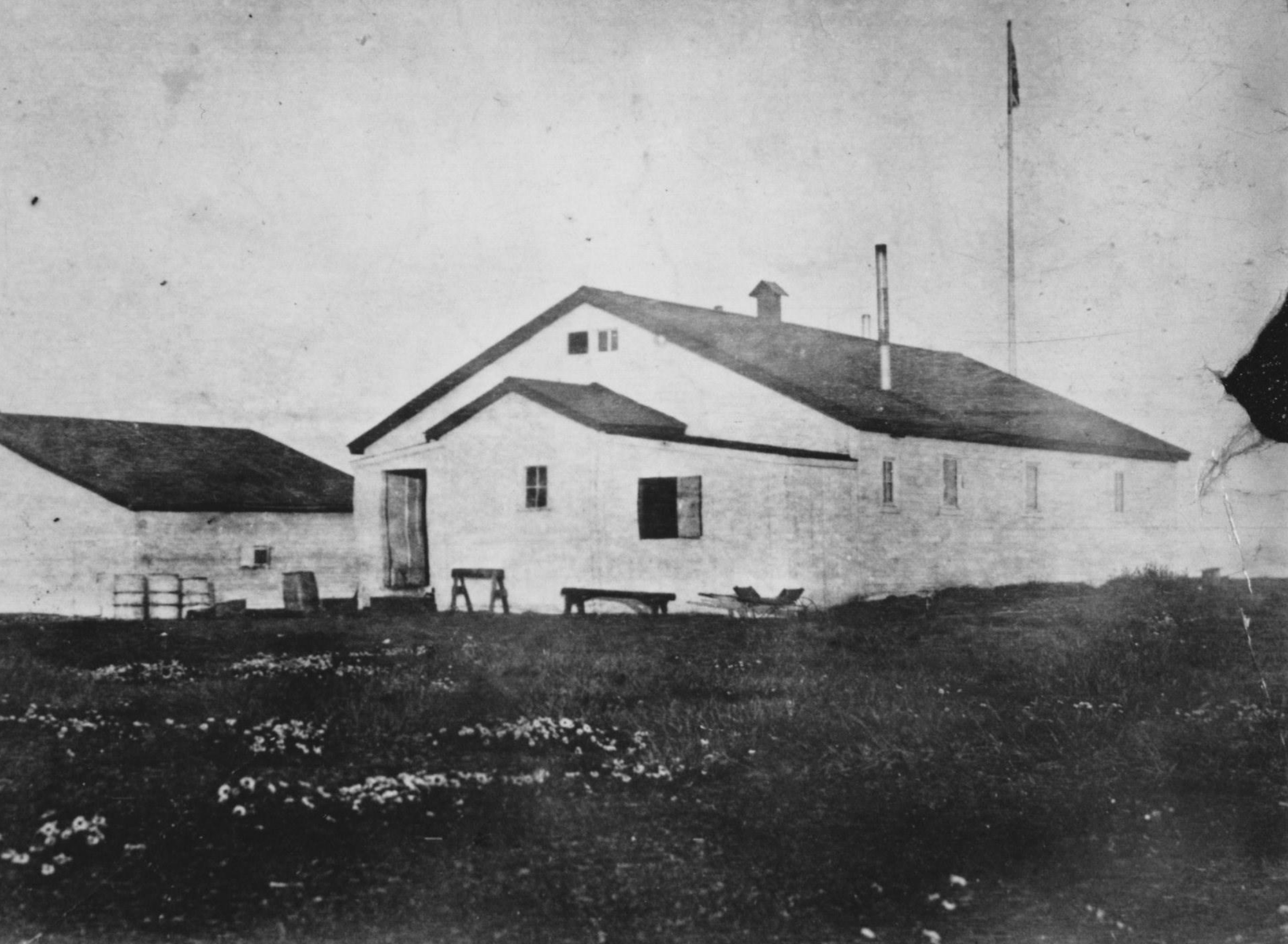
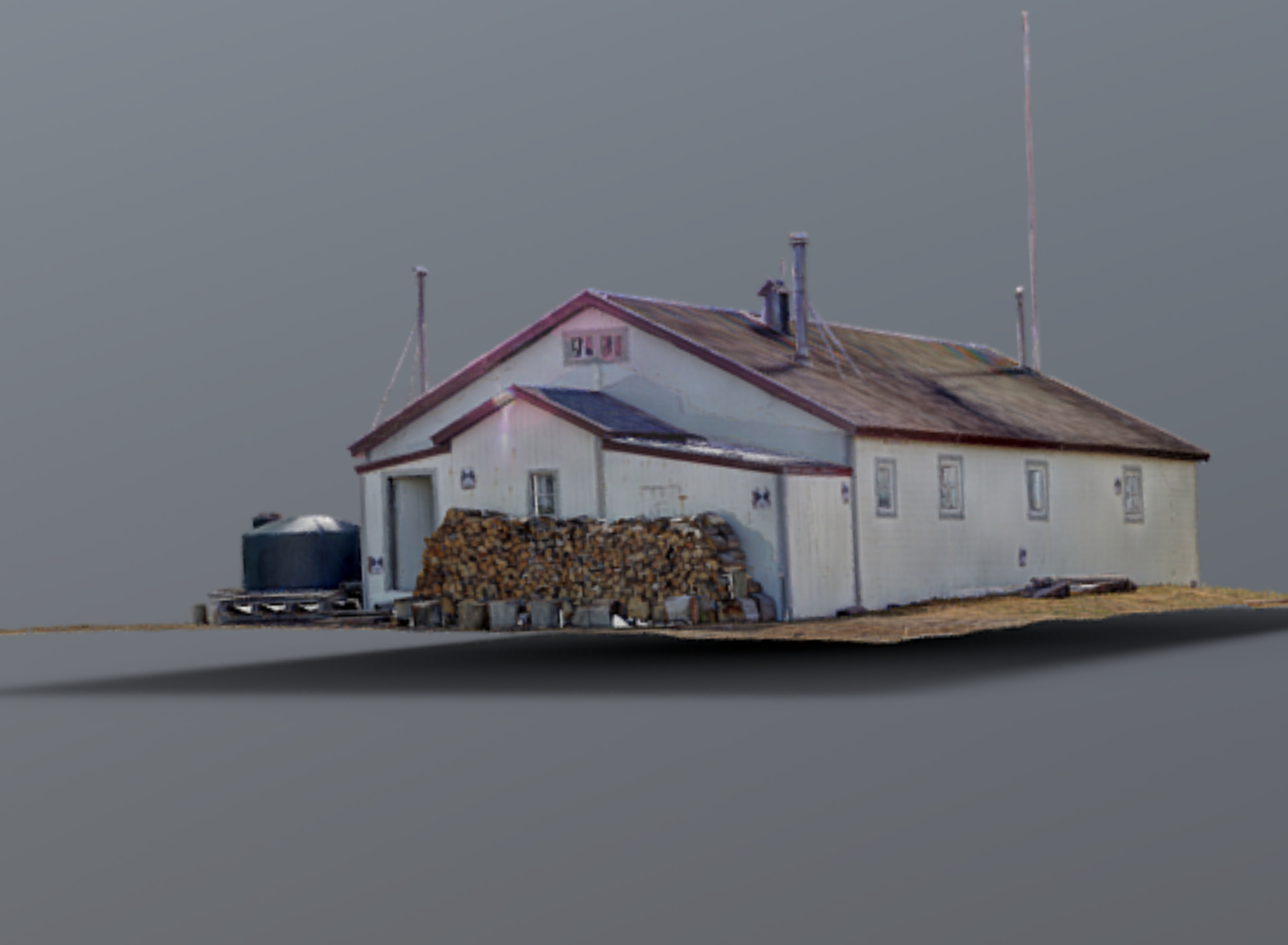
This gallery contains images of the Community House as it appeared in the past (from the Inuvialuit Digital Library) and in 2018 and 2019. 3D printed models created from the laser scanning data can also be viewed. The models depicted in the gallery were hand painted to match how they appear in reality.
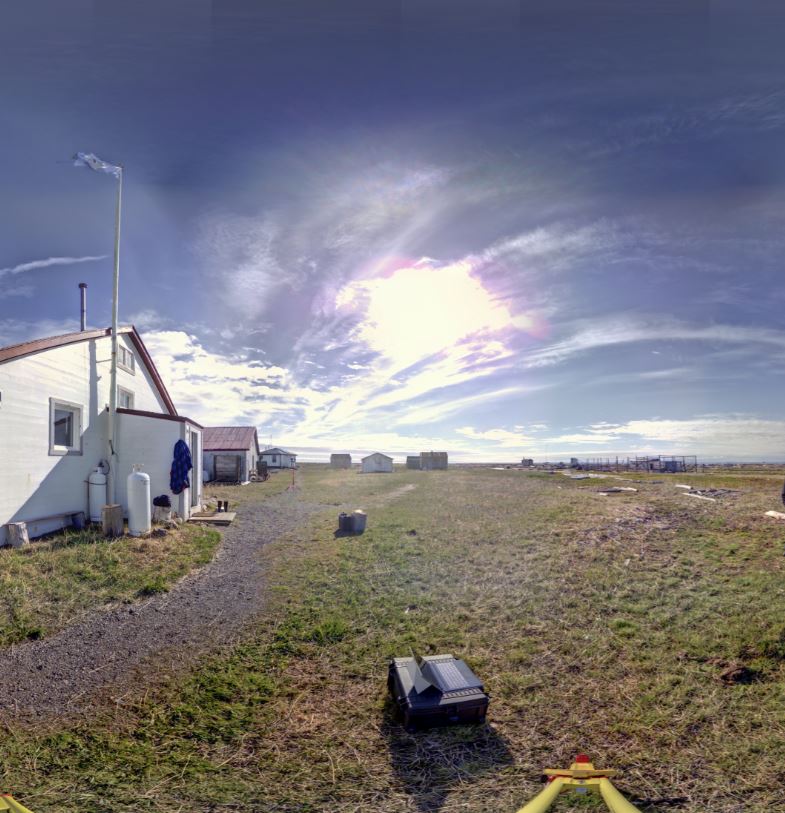
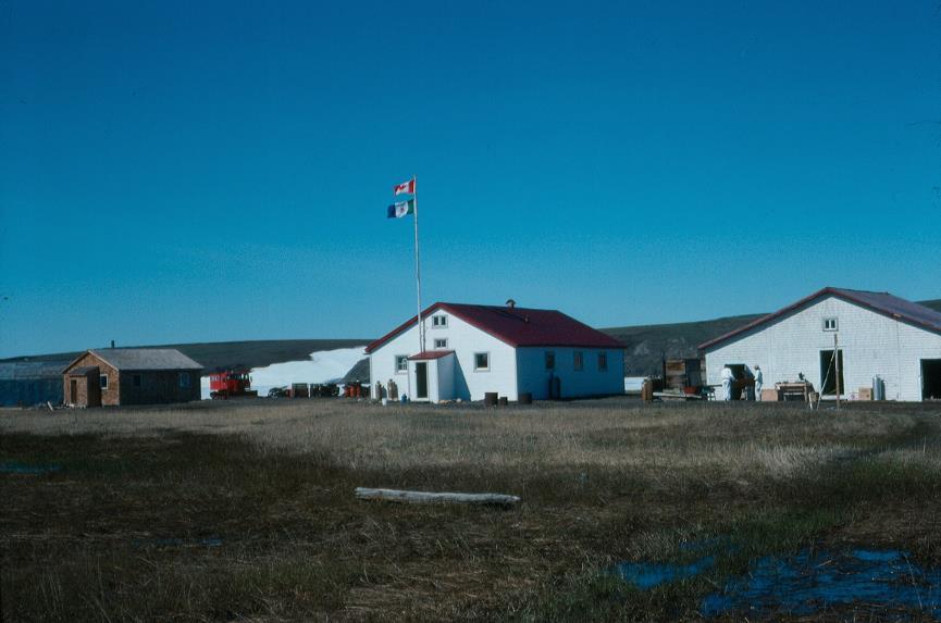
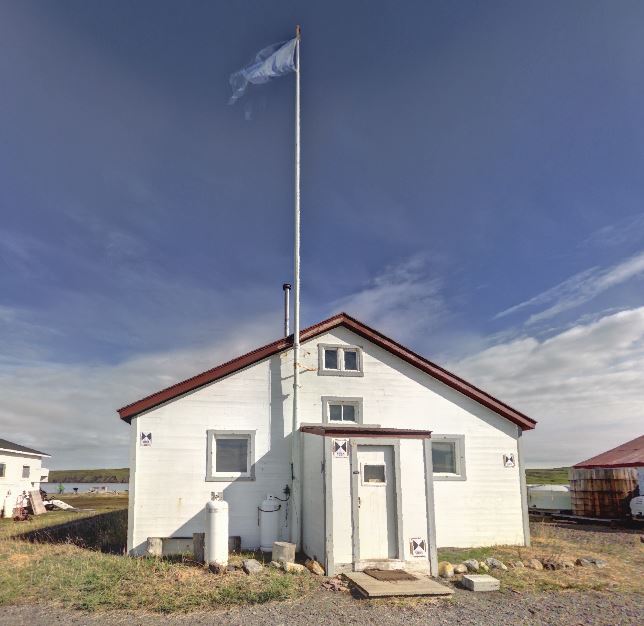
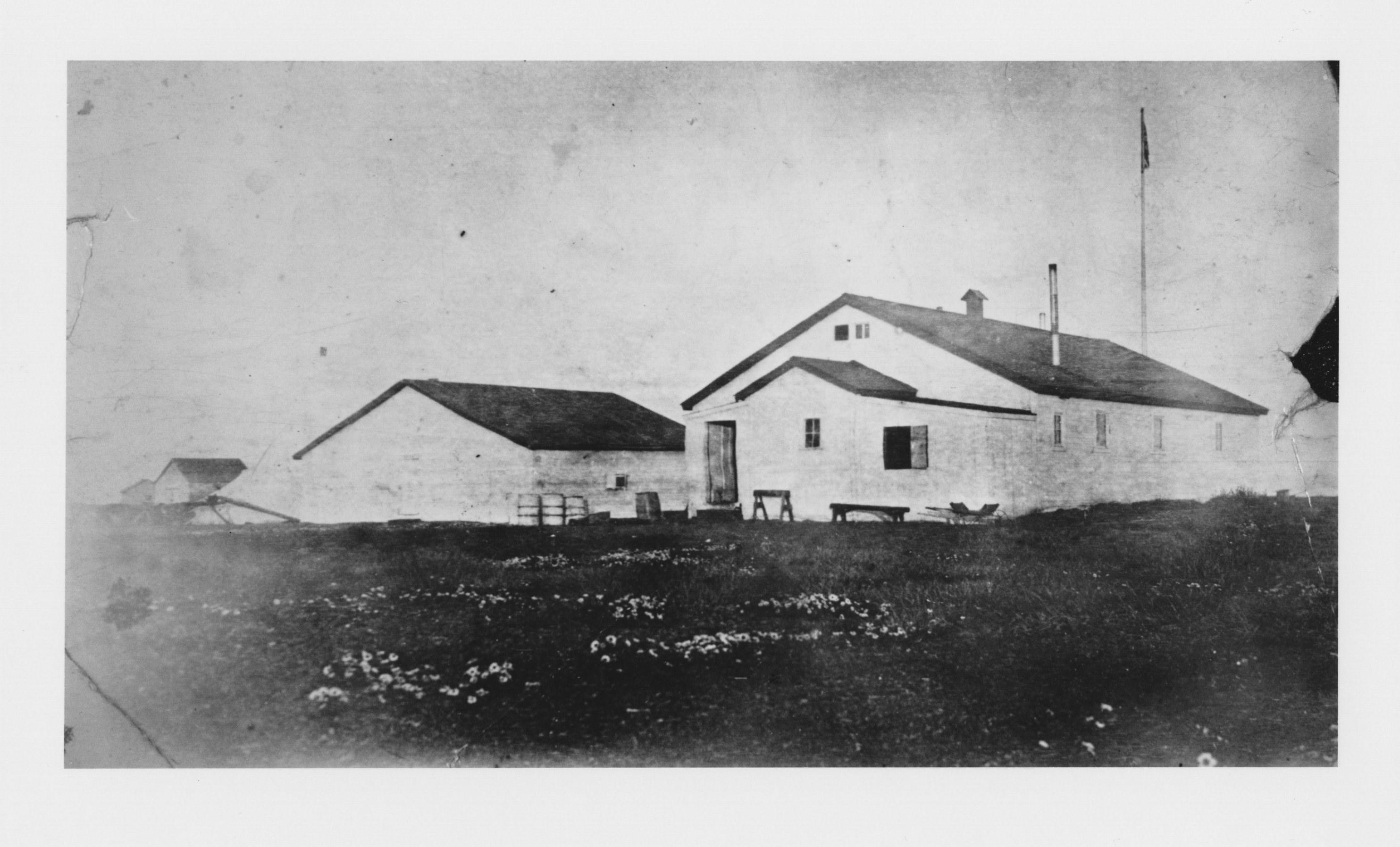
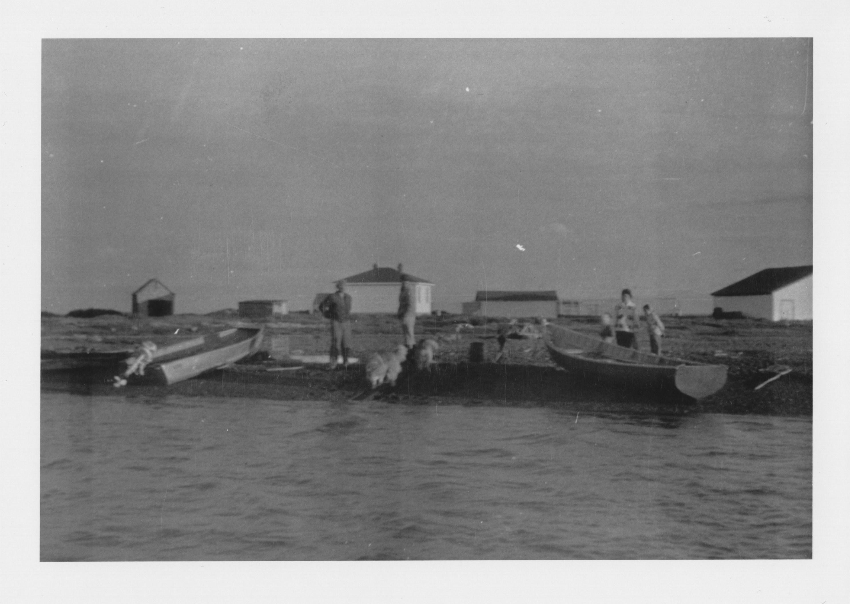
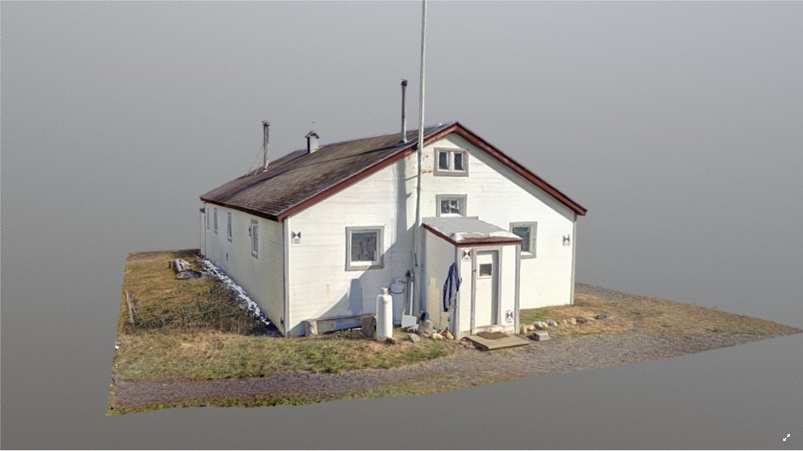
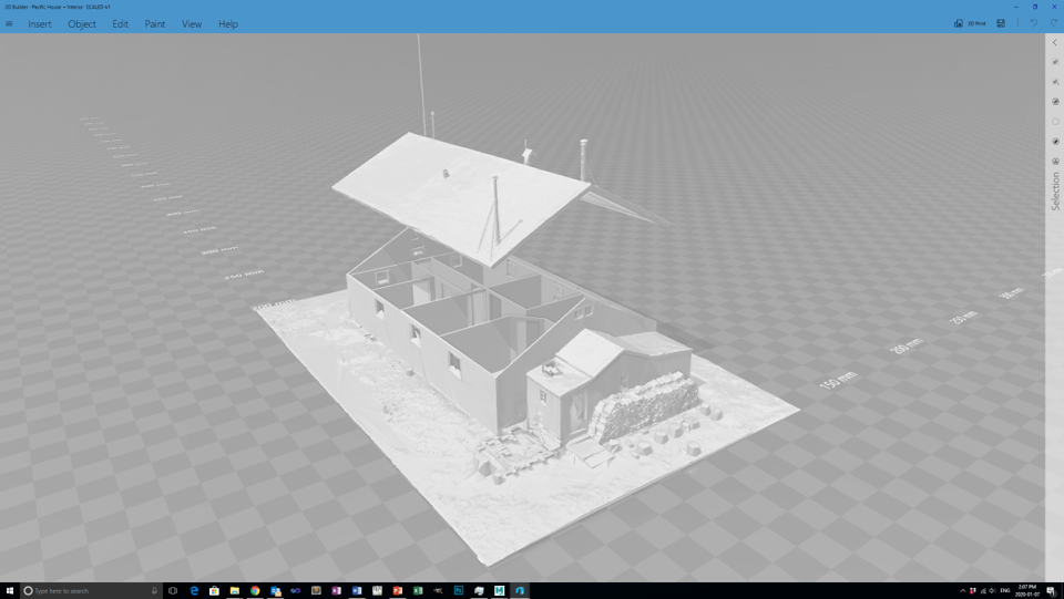
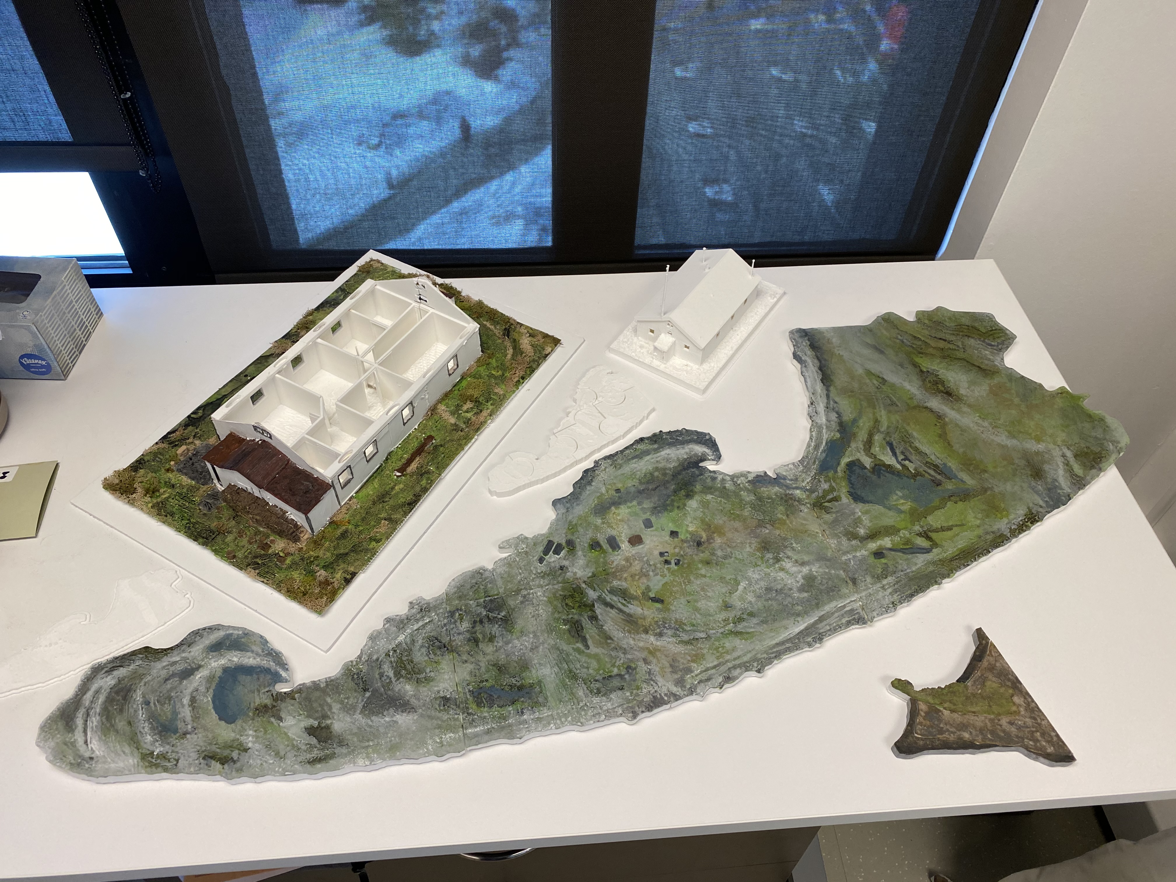
Click on the 3D model of Pauline Cove. Marker (2) shows the location of the Community House within the settlement.
Open Access Data
The raw data files for this project are available for download from the archive repository. Scans are .las file format. Please download the metadata template to access metadata associated with each file. All data is published under the Attribution-Non-Commercial Creatives Common License CC BY-NC 4.0 and we would ask that you acknowledge this repository in any research that results from the use of these data sets. The data can be viewed and manipulated in CloudCompare an opensource software.
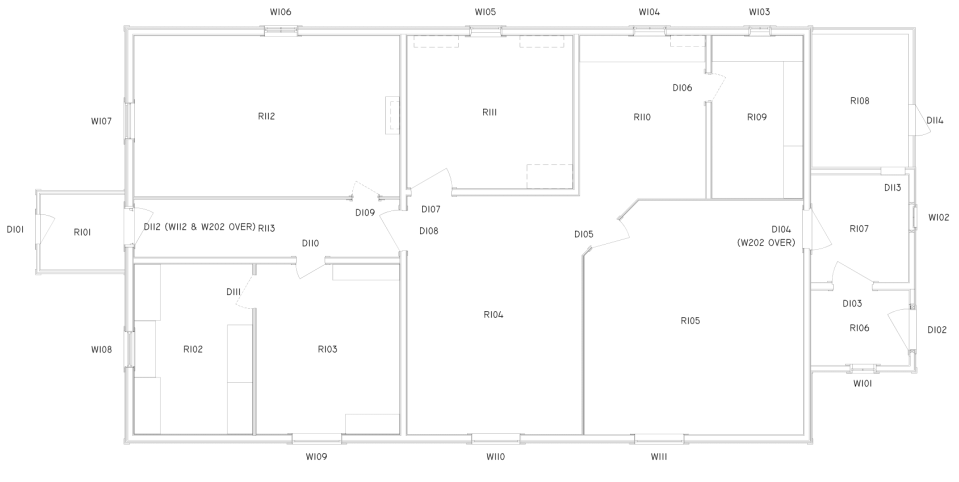
The architectural drawings below were created by Elizabeth Cook, a student in the School of Architecture, Planning and Landscape (SAPL) at the University of Calgary. The drawings were created in Autodesk Revit BIM software using the point clouds captured by the Z+F 5010X and Leica BLK360 scanners. Building Information Modeling (BIM) involves the generation and management of digital representations of the physical and functional characteristics of spaces. We are currently exploring how BIM can be linked with heritage strategies currently used to manage the historic buildings at Pauline Cove – especially in light of current climate change impacts.
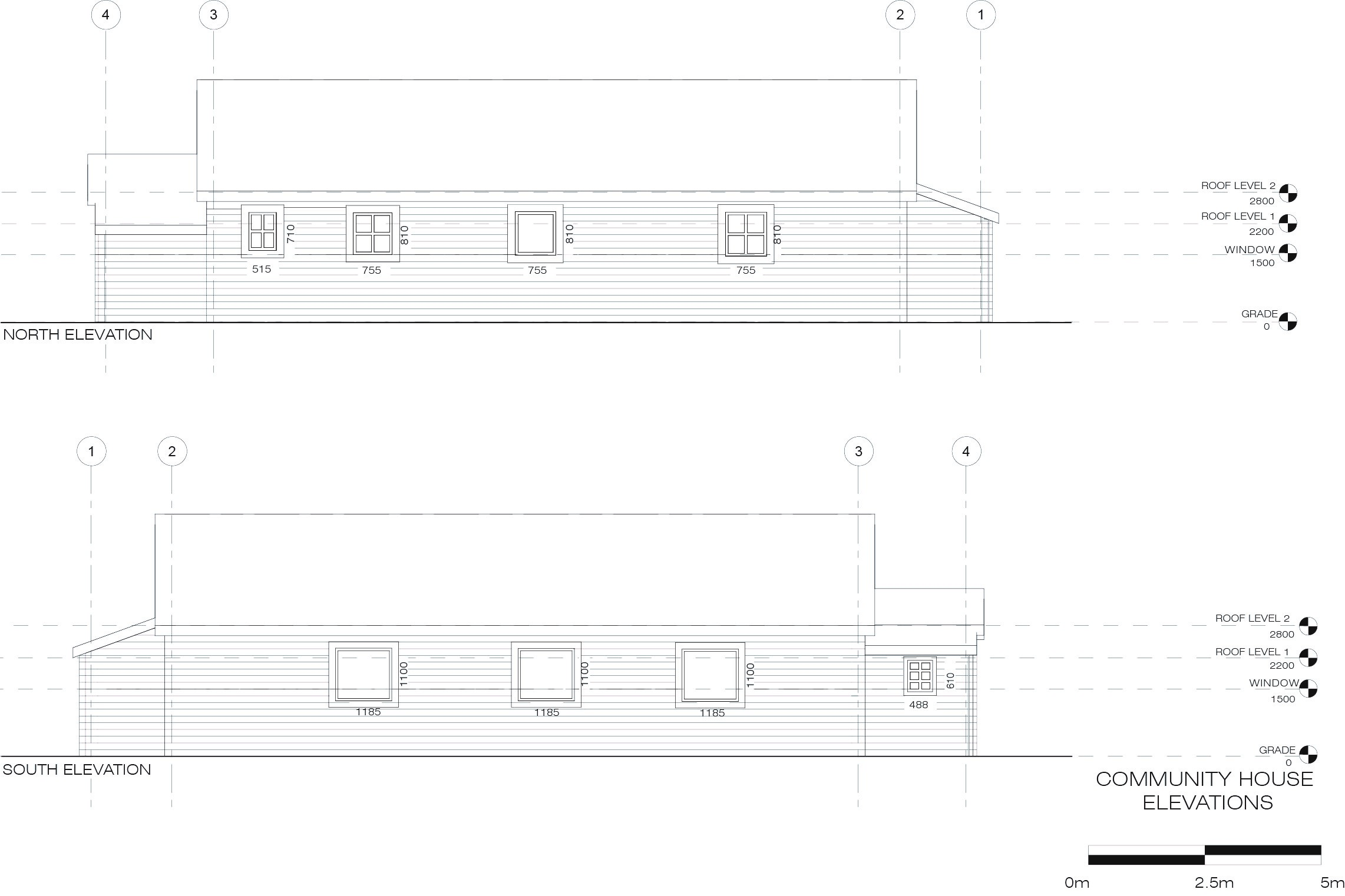
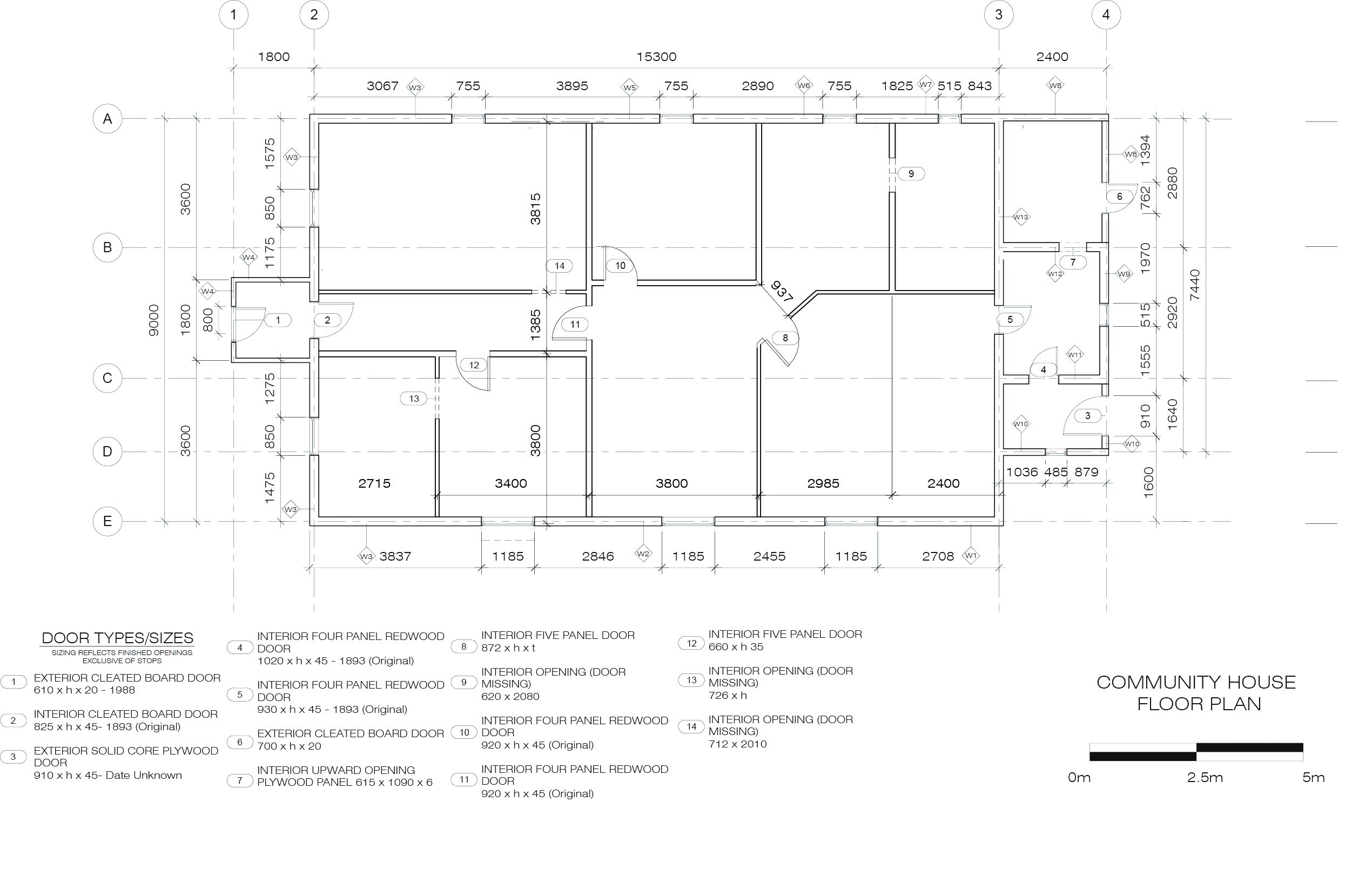
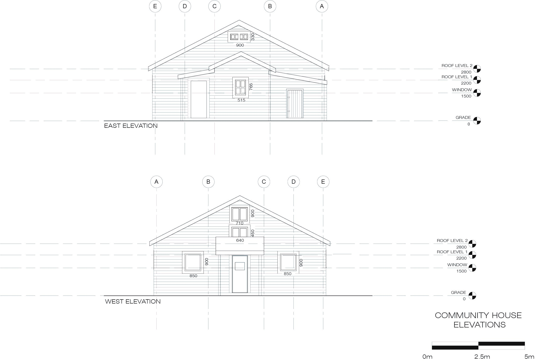
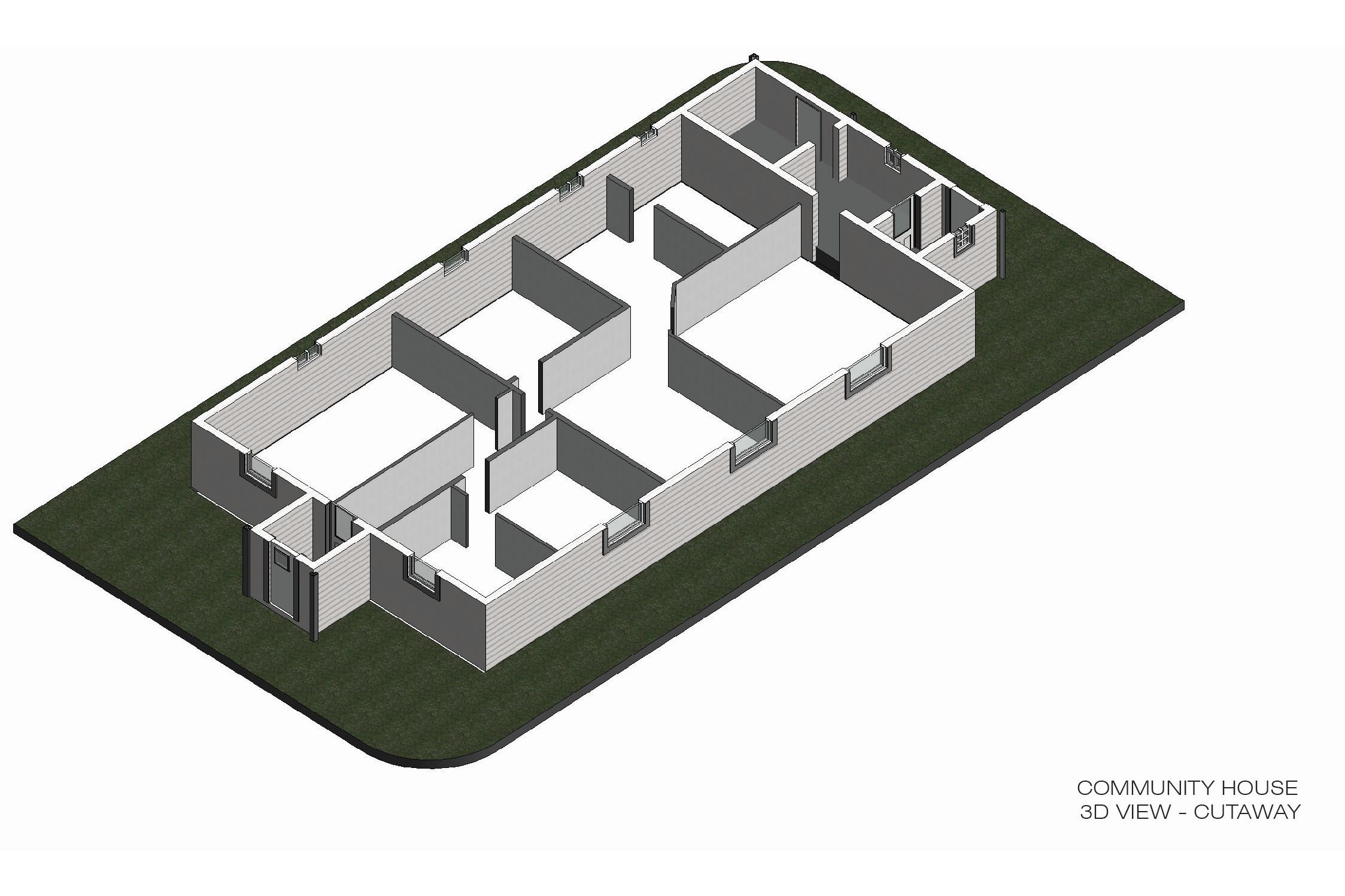
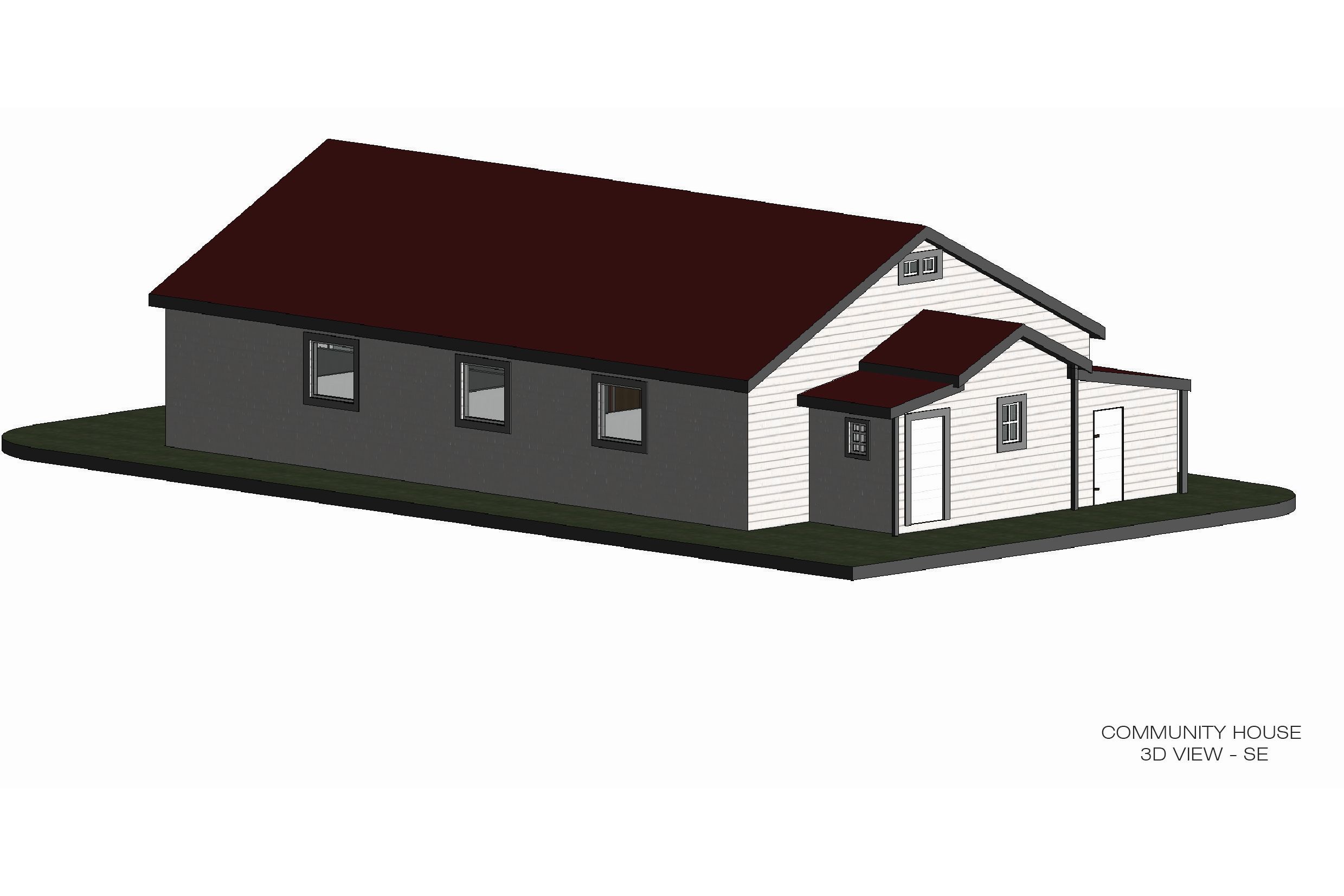
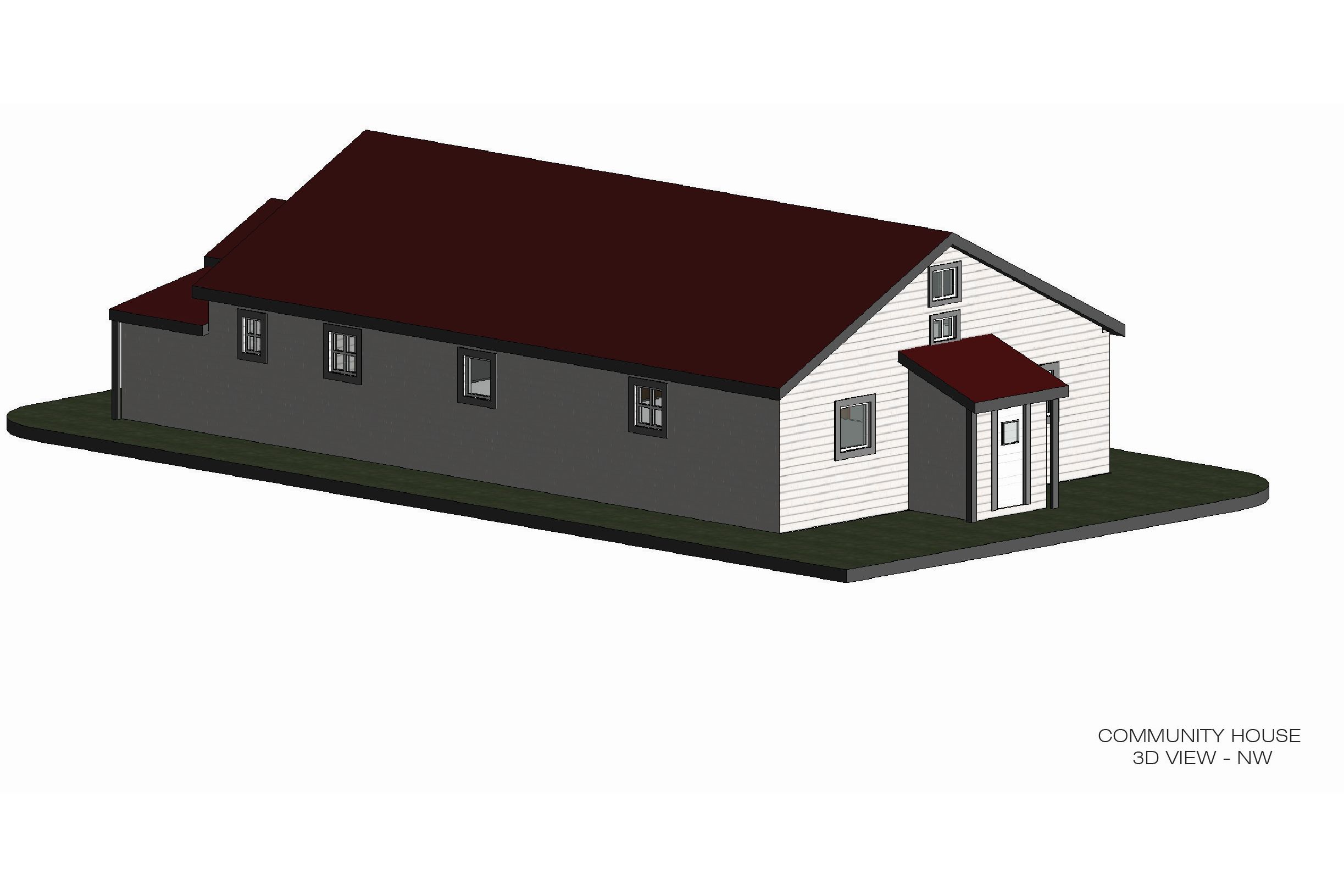
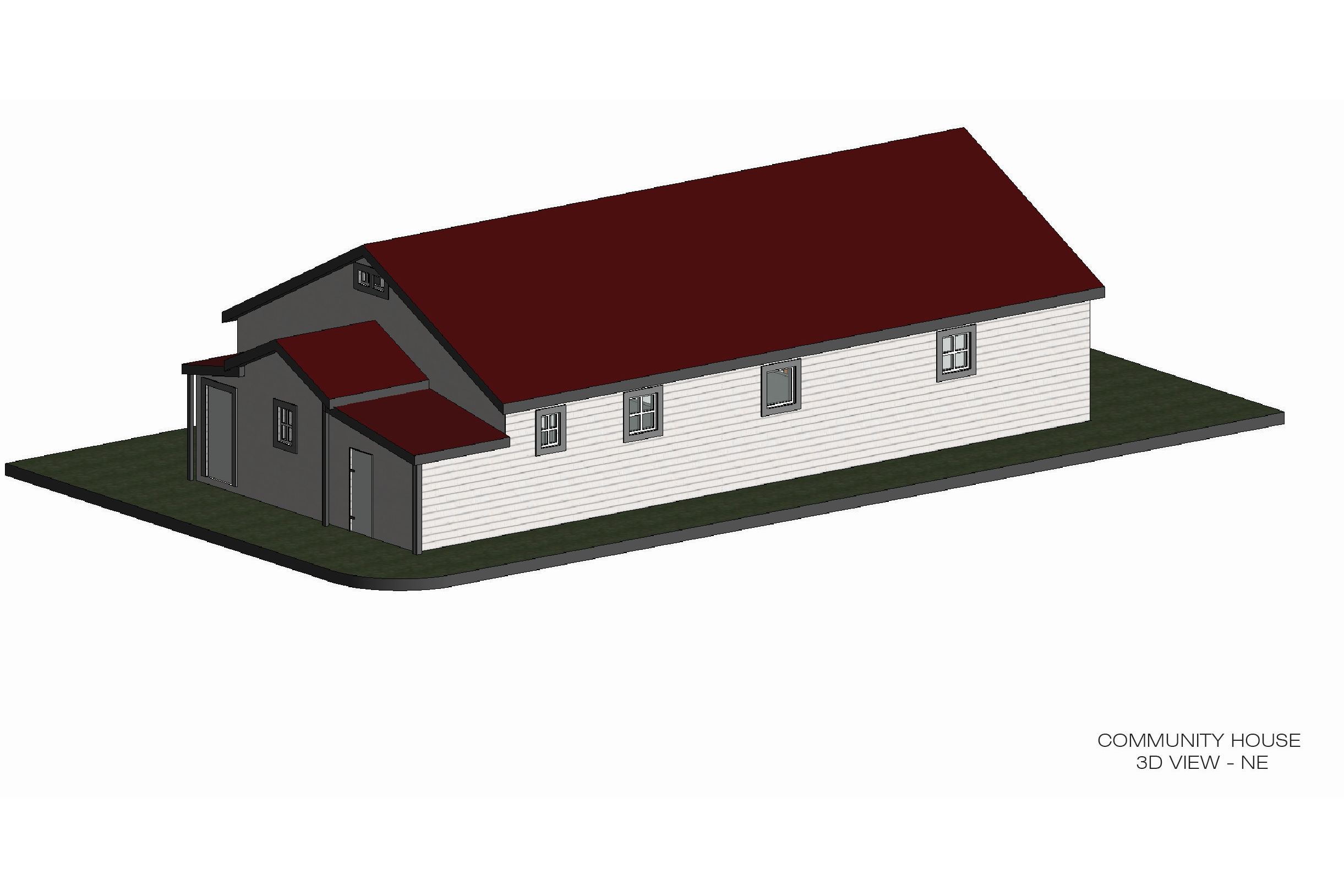
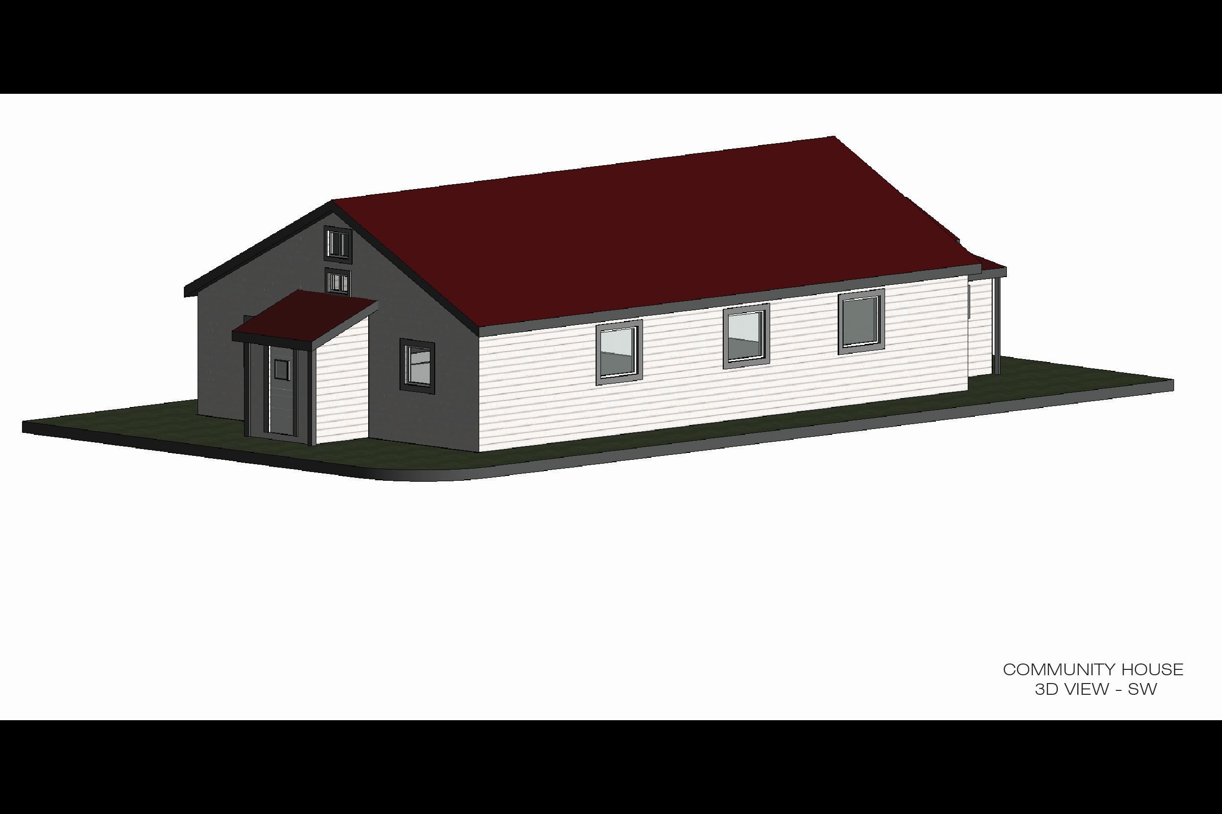
Digitally Capturing the Pacific Steam Whaling Co. Community House
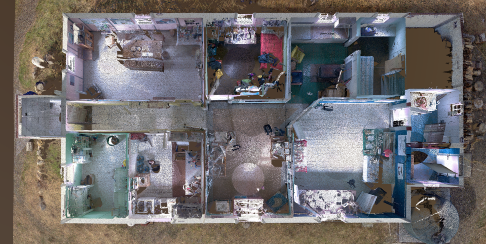
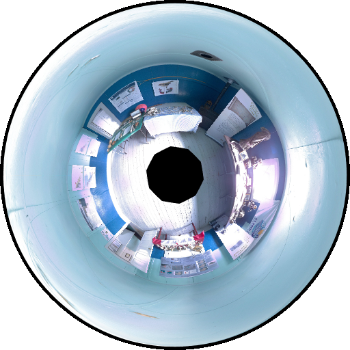
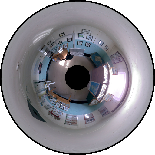
The Pacific Steam Whaling Co. Community House was first digitally captured in July, 2018. The exterior was documented with a Z+F 5010X scanner and mounted paper targets, using 11 scanning locations situated roughly in a circle around the building. In anticipation of later capturing the interior of the building, a scanning location was positioned in front of an open door to capture portions of the interior. In 2019 the interior of the building was scanned with a Leica BLK 360 scanner using an additional 30 scanning locations. No targets were used to capture the interior of the building, and scans were registered together using cloud-to-cloud registration in AutoDesk ReCap Mobile and Pro. The interior and exterior scans were registered together in AutoDesk ReCap Pro using cloud-to-cloud registration based on the common data from the doorway scanning position.
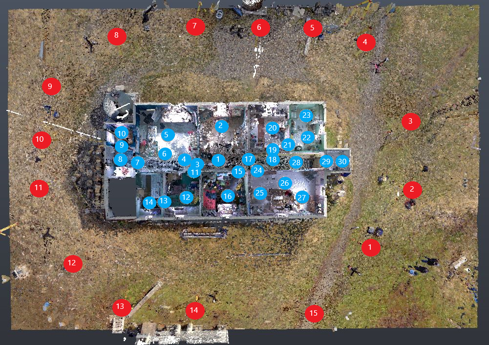
Scan Locations

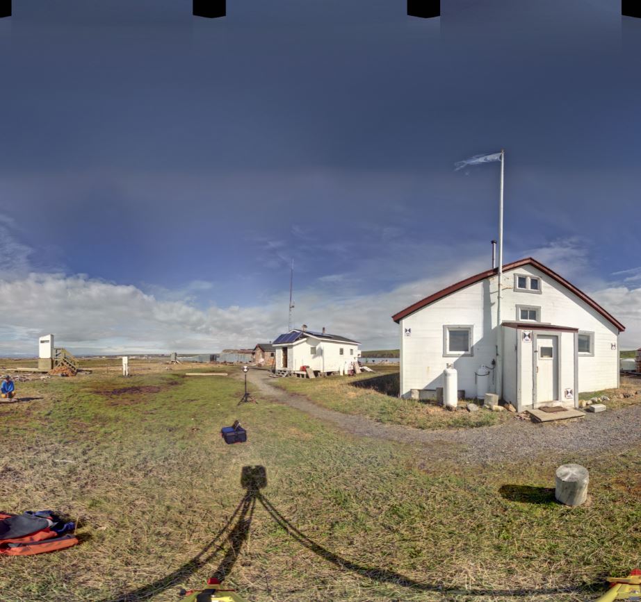
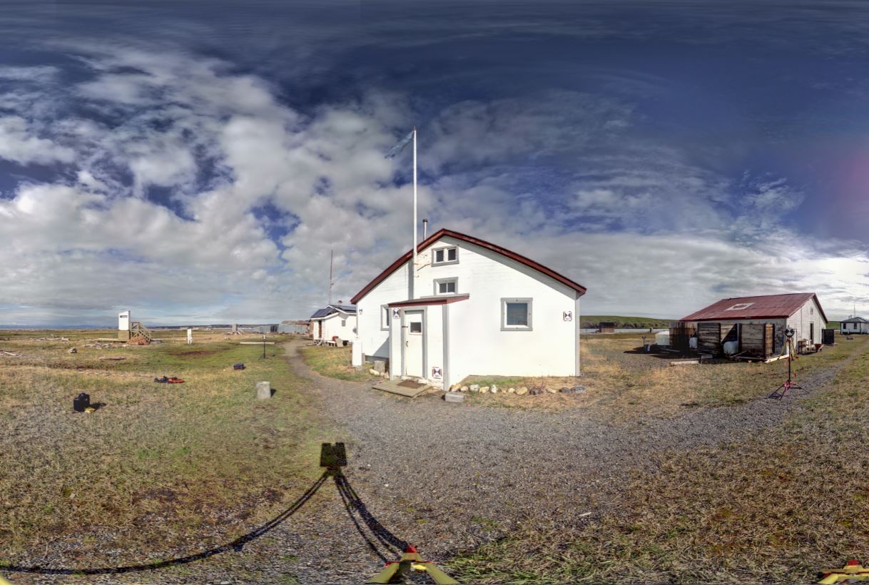
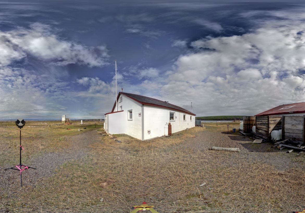
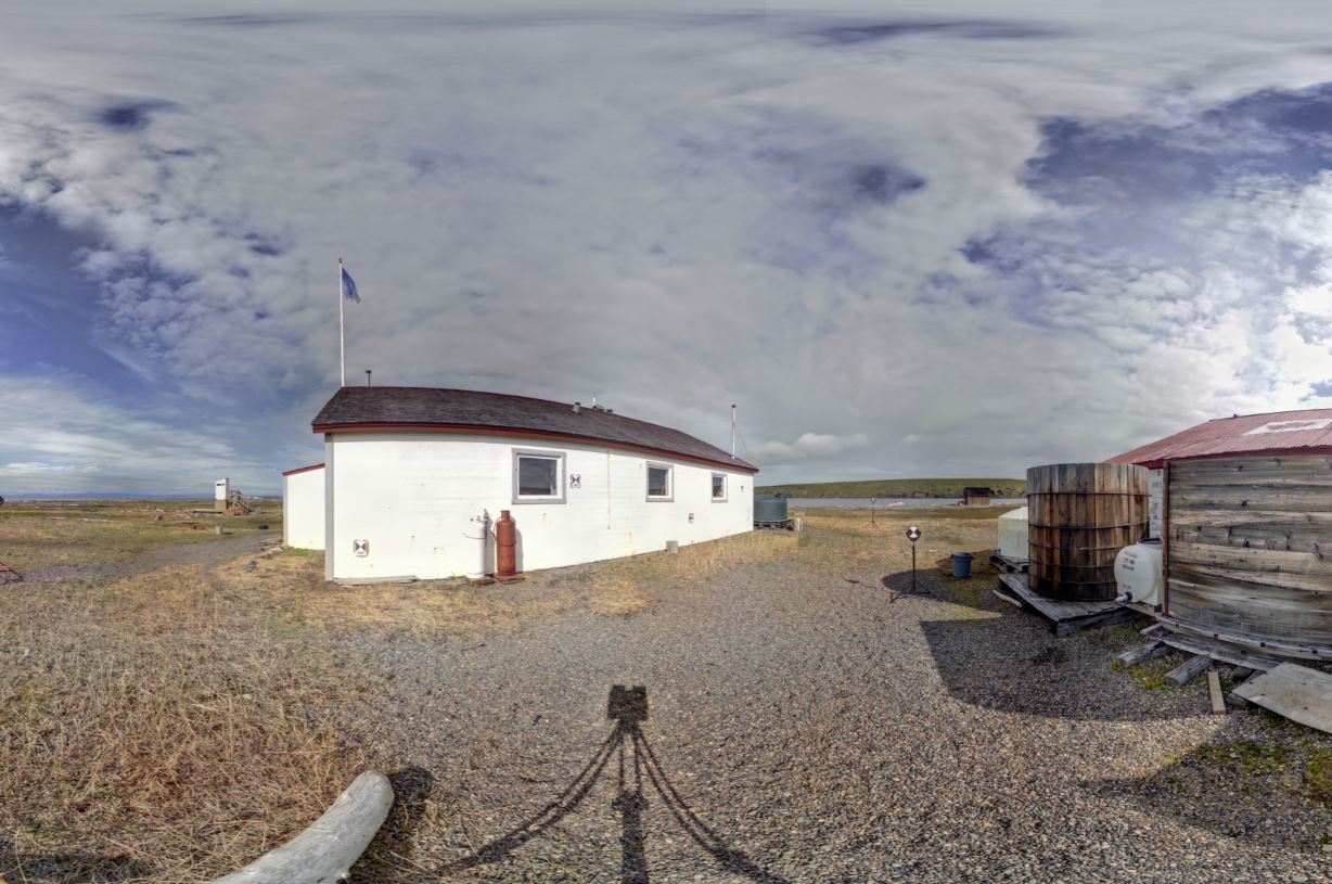
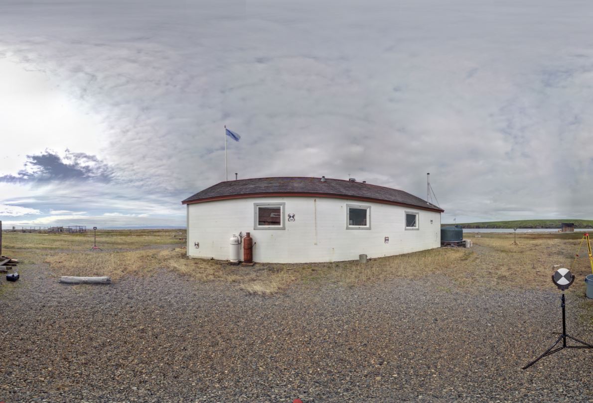
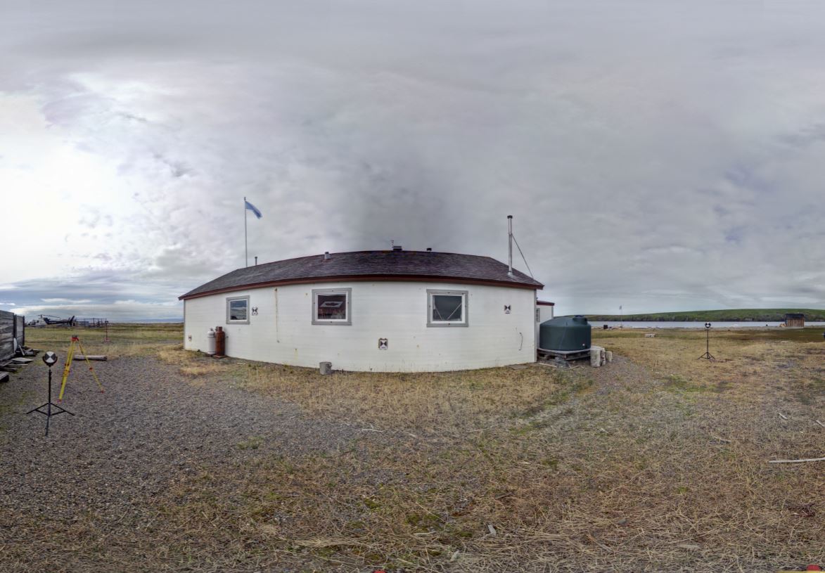
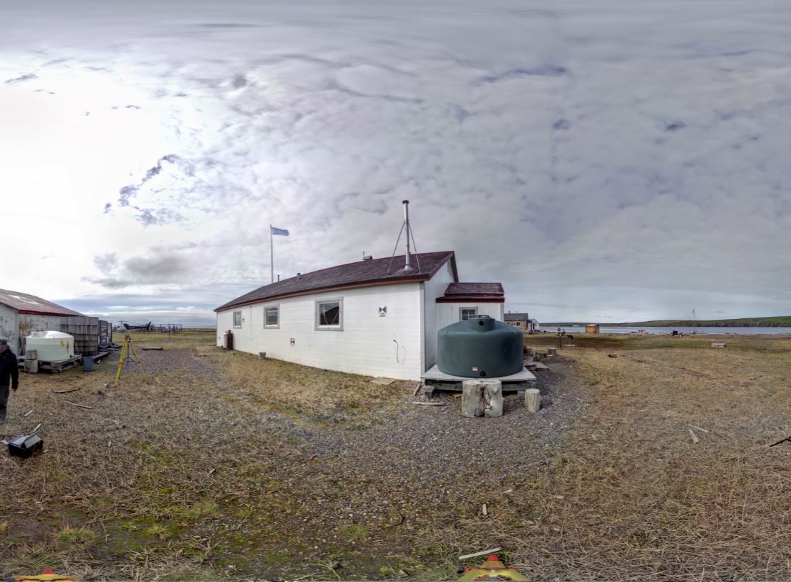
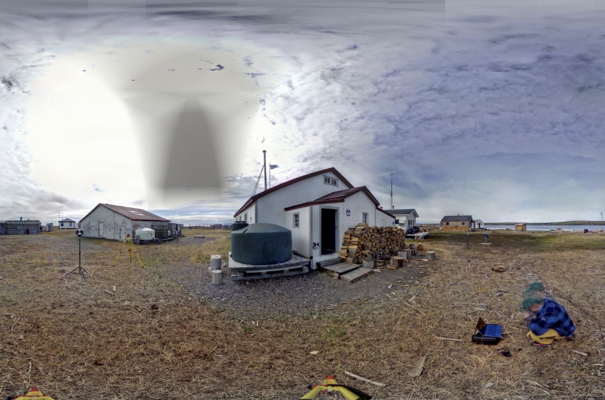
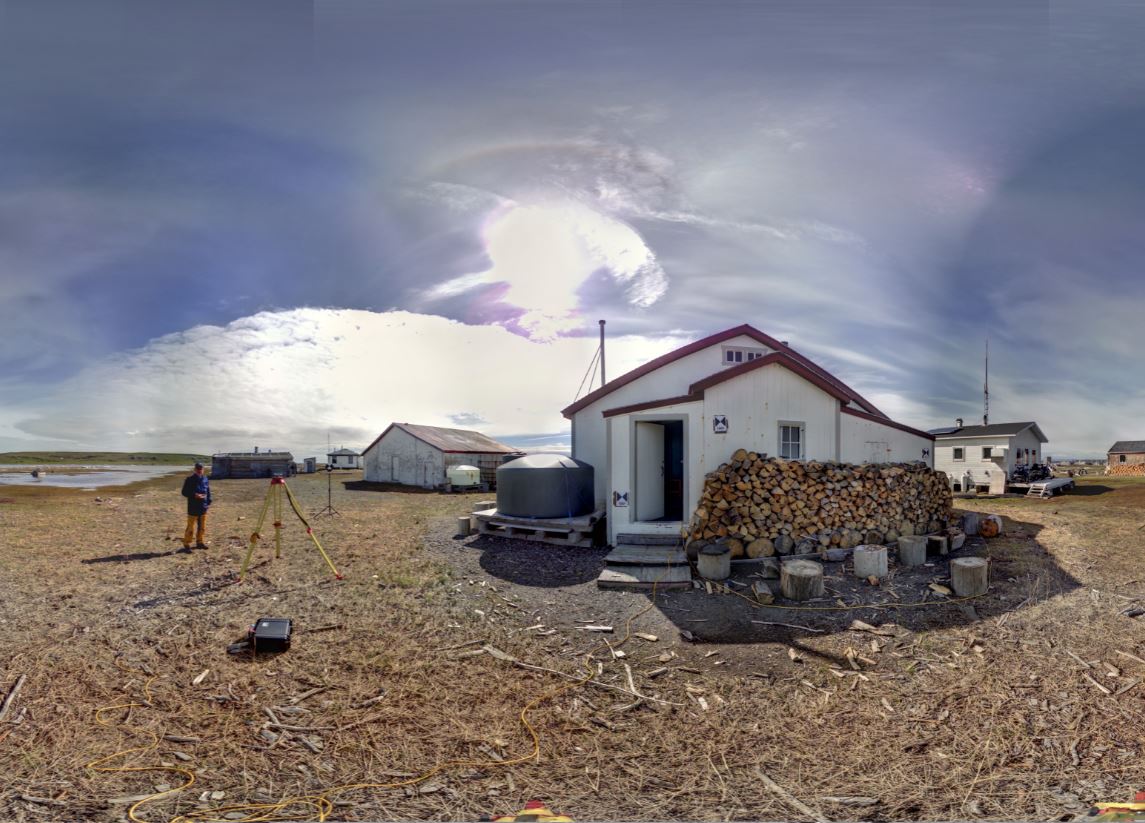
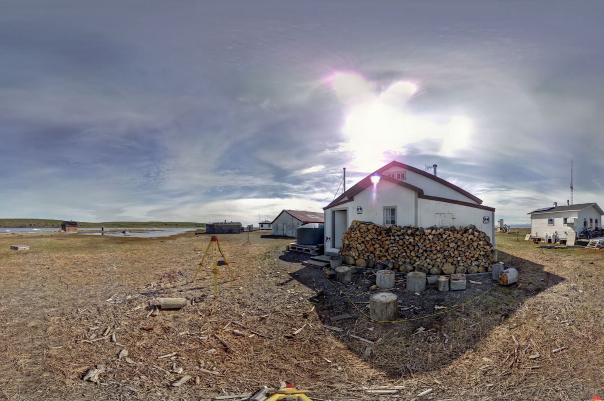
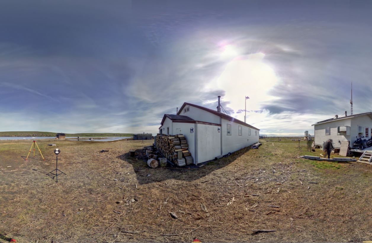
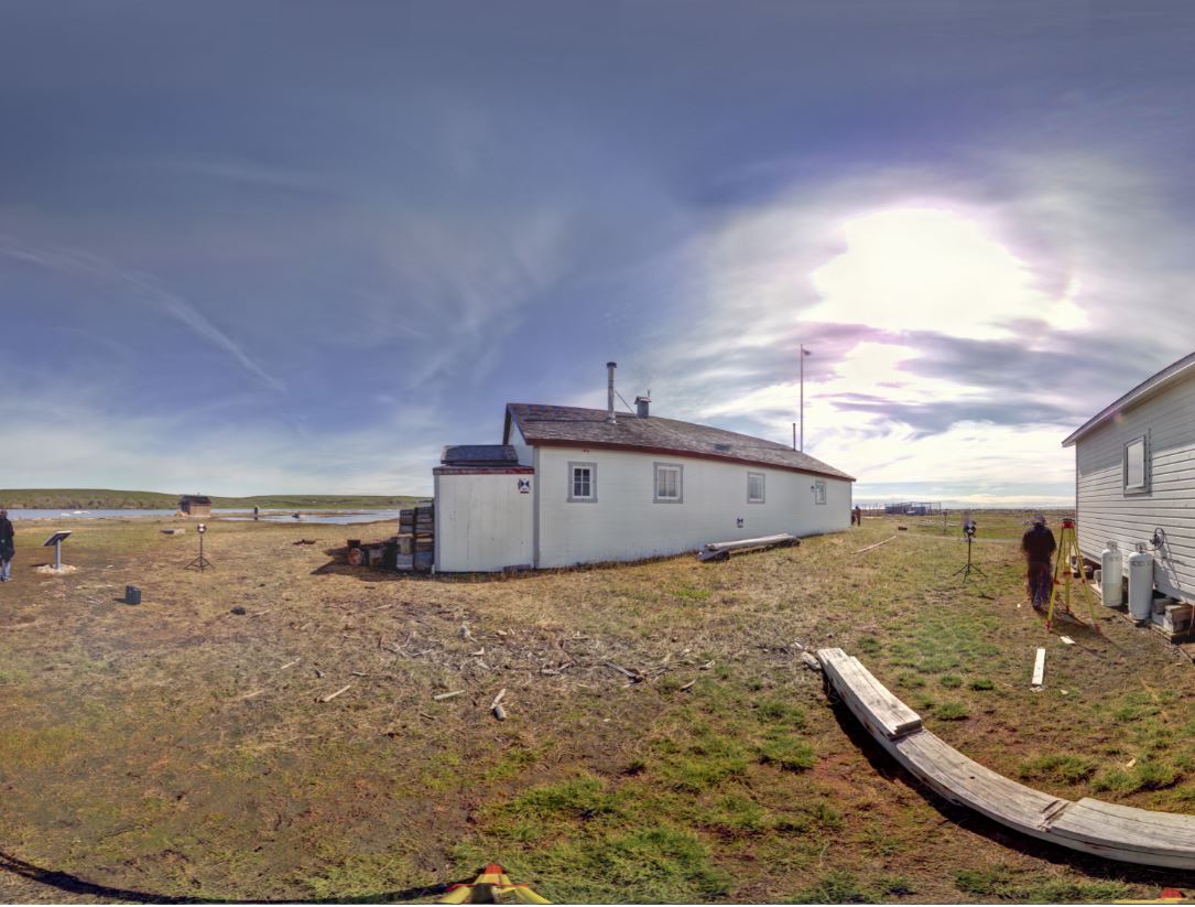
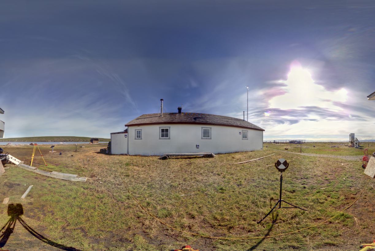
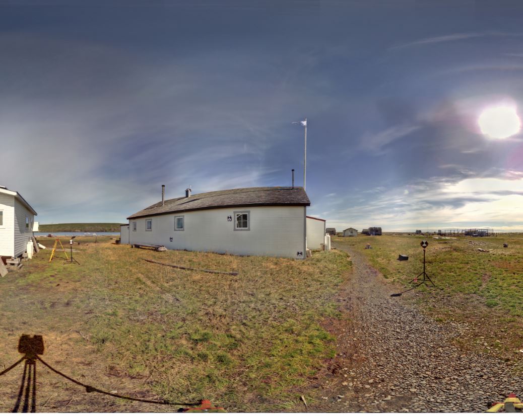
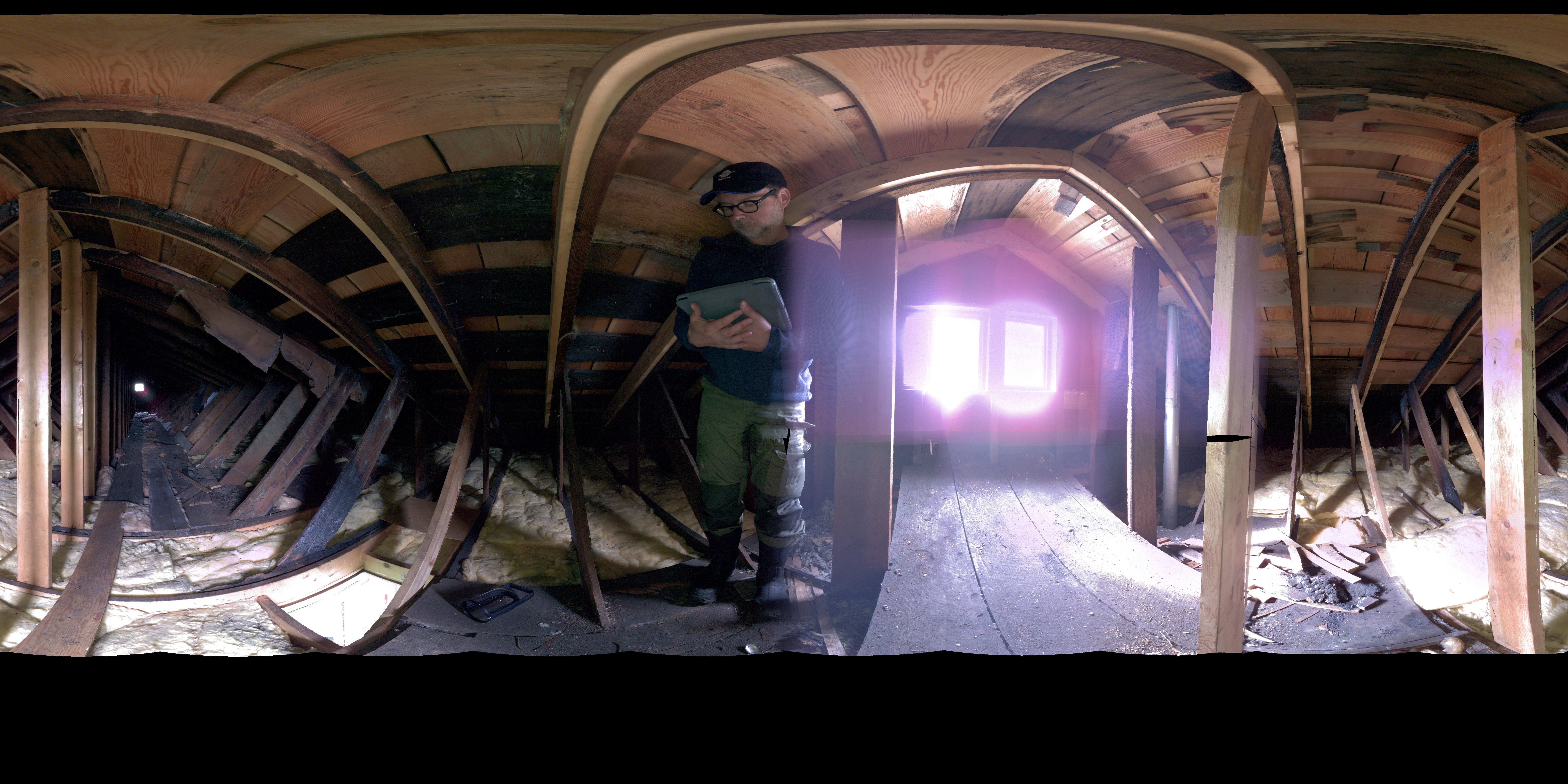
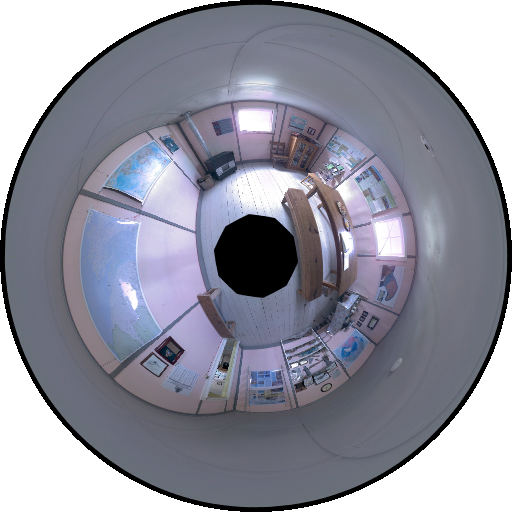
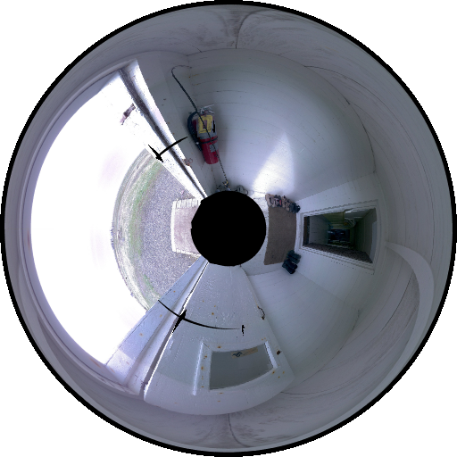
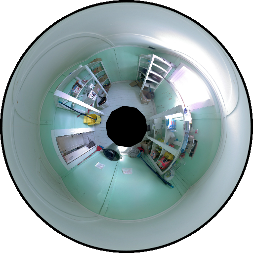
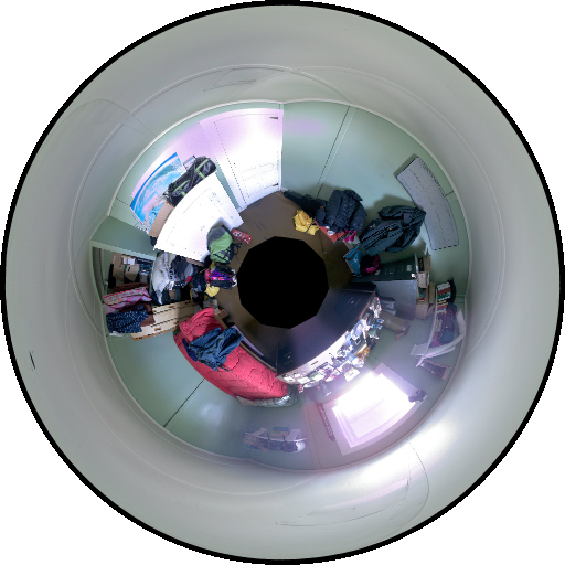
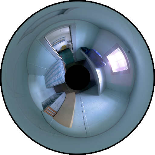
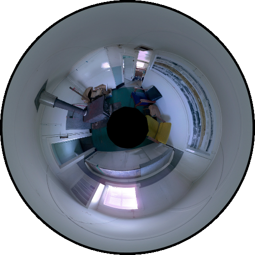
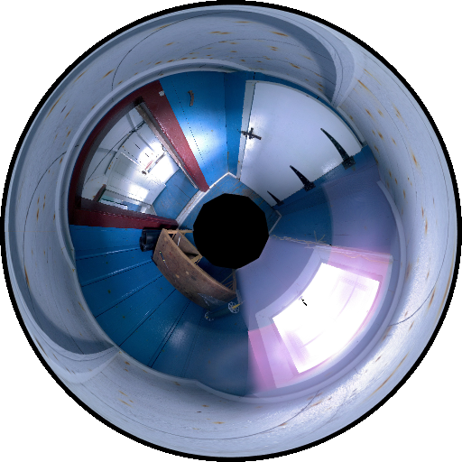
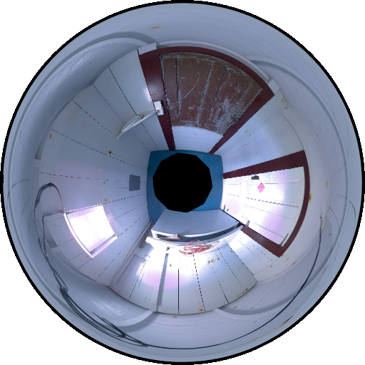
Grab the Slider With Your Mouse and Move it Left and Right to Compare the Real Community House to Its Virtual Replica.
Historical Photograph
