Exploring how digital technology can be used to preserve, protect, and mobilize knowledge about Qikiqtaruk Herchel Island
The significance of Herschel Island or Qikiqtaruk Territorial Park derives from its continuous use by both Inuvialuit and Euro-North American groups over the last 800 years, and the natural and cultural histories of the park. Of these cultural resources, there are several historic structures that are being threatened by rising sea levels, increased shoreline erosion, and increasingly violent storms caused by the disappearance of sea ice. Reality capture technologies like terrestrial laser scanning (TLS) and aerial photogrammetry can be used to digitally capture and preserve these heritage resources. This archive serves as a repository for these digital data sets so they will remain accessible to future generations. Scroll down or click on the button below to view interactive 3D models and other content!
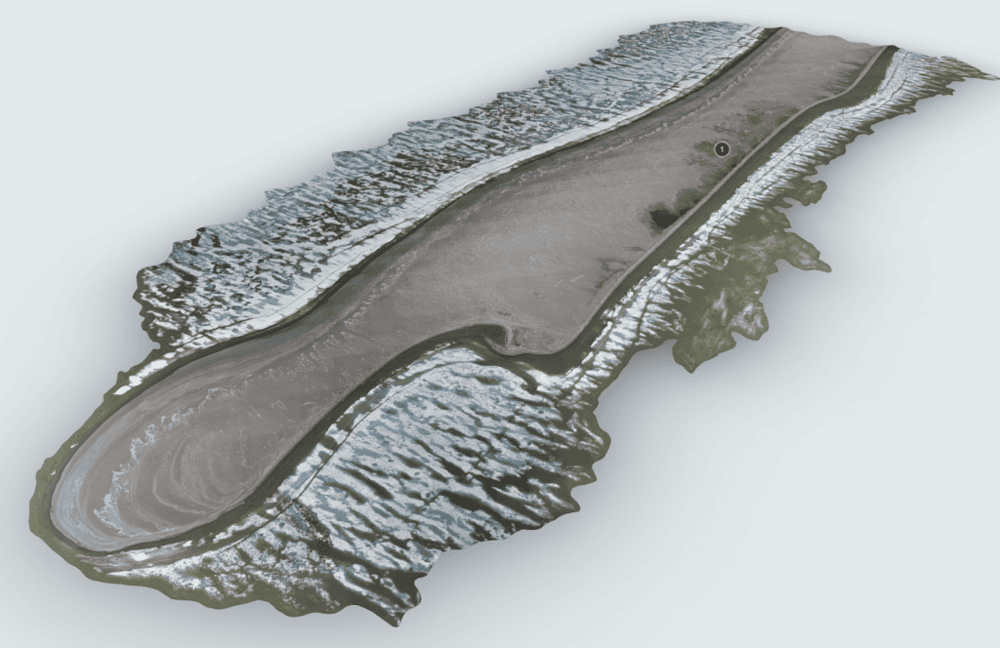
Avadlek Spit
Avadlek Spit is one of three gravel spits on Qikiqtaruk, which are all remnants of the coast before the island was separated from the mainland [1]. Some of the earliest evidence of human occupation, known from two excavated Inuvialuit houses, are located…
Read more
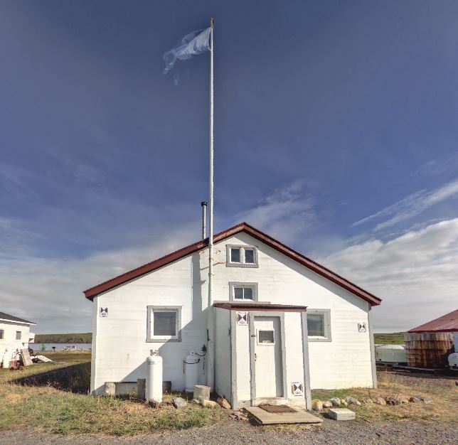
Pacific Steam Whaling Co. Community House
The Pacific Steam Whaling Co. constructed this building in 1893, making it the oldest frame building in the Yukon. It was initially used as a community building for the officers of the whaling ships that wintered at the island. Following this period it wa…
Read more
Ikagin House
Captain McKenna of the Pacific Steam Whaling Co. built this cabin for his own use in 1893. It was constructed utilizing materials left over from the construction of Building No.4. The building underwent a number of changes over the years including the shi…
Read more