Underground natural freezers called “ice houses” were built by the Pacific Steam Whaling Company in the late 19th century. Of the five visible icehouses, four have collapsed while this one remains in usable condition. Capturing the interior of this unique structure required that we climb through a narrow entrance and down a ladder. Plastic milk bottles were illuminated using cell phones to provide light. A Leica BLK scanner was used to capture the architectural details. The frozen dirt walls have been cut away in this point cloud to reveal the internal support posts.
Region:
Yukon
Field Documentation:
July 12, 2018
Field Documentation Type:
Terrestrial LiDAR
Historic Period:
1890CE
Latitude:
Longitude:
Threat Level
Ice Houses at Herschel Island
When the whalers arrived on Herschel Island, the Inuvialuit showed them how to store fresh supplies like caribou and seal meat in shallow pits dug into the permafrost. The whalemen created larger storage spaces in “ice houses” or “ice cellars.” They constructed these ice houses by blasting holes approximately 2 m deep with dynamite [1]. These would then be squared off and covered with driftwood logs for a roof, which would then be covered in sod for insulation. Typically, the ice house entrances faced towards the south with the main structure backed into the hill behind [1]. To enter the storage area of the ice house, the entrance above would serve as an air-lock entry porch that leads through a runnel into a hole in the roof of the subterranean store room. The whalers made five of these ice houses at the north end of the settlement area; four of these have now collapsed. This ice house is the only one that remains in usable condition [1].
Image of the Ice Houses, ca 1930. Photo source: Yukon Government. 2011
Notes
[1] Burn, Christopher R. (editor). 2012. Herschel Island Qikiqtaruk: a Natural and Cultural History of Yukon’s Arctic Island. Library and Archives Canada Cataloguing in Publication, Calgary.
This gallery contains images of the only remaining intact ice house at Pauline Cove, as it appeared in 2019. There is also a historic photo showing how it would have appeared in the past.
Open Access Data
The raw data files for this project are available for download from the archive repository. Scans are .las file format. Please download the metadata template to access metadata associated with each file. All data is published under the Attribution-Non-Commercial Creatives Common License CC BY-NC 4.0 and we would ask that you acknowledge this repository in any research that results from the use of these data sets. The data can be viewed and manipulated in CloudCompare an opensource software.
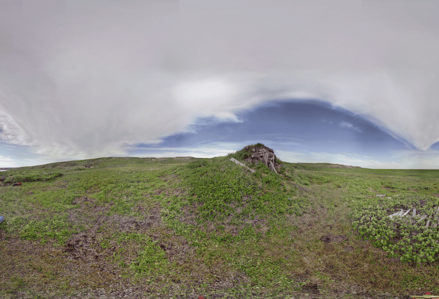
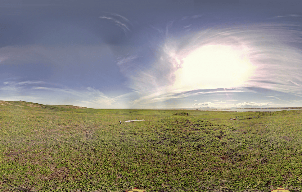
The ice houses are located behind the main settlement on a high ridge overlooking Pauline Cove. Click on the 3D model of Pauline Cove. Marker (18) shows their approximate location.
Digitally Capturing the Ice House
This last intact ice house on Herschel Island was digitally captured with a Z+F 5010X terrestrial laser scanner for the exterior in 2018 and the Leica BKL 360 for the interior in 2019. Seven scanning locations were used to capture the exterior of the structure (represented by the red dots) and four on the subterranean portion of the structure (represented by the blue dots). No targets were used and these scans with the exterior scans registered together in Z+F Laser Control and interior scans registered in Autodesk ReCap using cloud-to-cloud registration. Lowering the scanner into the depths of this semi-subterranean feature created many challenges. Nevertheless we were able to successfully capture the ice house’s interior.
Scan Locations
This site uses cookies and records your IP address for usage statistics.OkPrivacy policy